DALIA is a SaaS solution that uses LiDAR data and images for visualization, measurement, and distance calculation.
It offers improved efficiency and digitization, serving as a modern tool for creating and managing digital models of linear infrastructure.
Given the high value and versatility of the data that can feed the solution, DALIA contributes to engineering, maintenance, and construction work. This technological solution has been developed by Elewit in collaboration with AEROLASER.

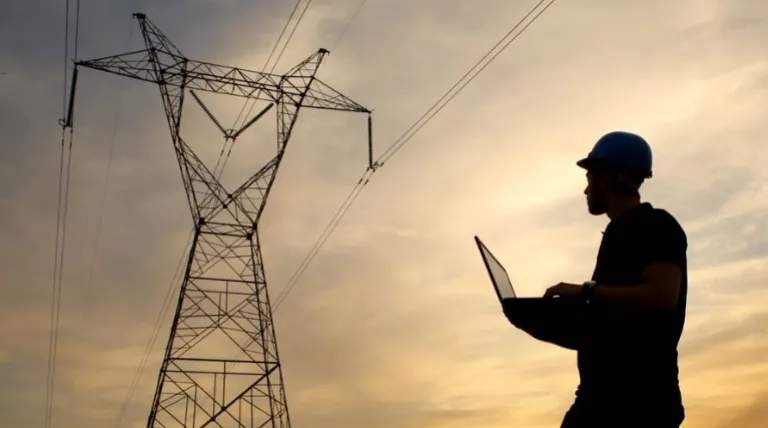
Explore your infrastructure from wherever you need to. With DALIA, you gain access to all the essential tools for this thanks to its cloud-based solutions.
DALIA's capabilities
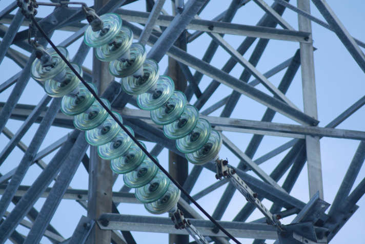
DALIA allows the use of data from different sources, regardless of how it was captured.
Whether they are image captures or manual LiDAR acquired through drones or helicopters. All of them feed into the tool from a cloud repository.

Once the data is available, all you need is an Internet connection to start working.
From distance calculation to desk-top inspections or linear structure engineering, etc., everything is available to the user in a single application.

![]()
Elewit and Aerolaser System are working together to enhance the value of DALIA in the market.
Aerolaser System, a company invested by our venture capital, specializes in developing innovative technological solutions to support the digital transformation of infrastructure. Thanks to their effort and commitment to R&D, they have developed their own technology with highly competitive geospatial systems and services worldwide.

Learn more about DALIA