Ensuring optimum and constant operation of the electricity grid infrastructure is one of the main tasks of Red Eléctrica as the sole transmission agent and operator of the Spanish electricity system. To this end, repairs are performed in overhead power lines due to different situations such as adverse weather phenomena.
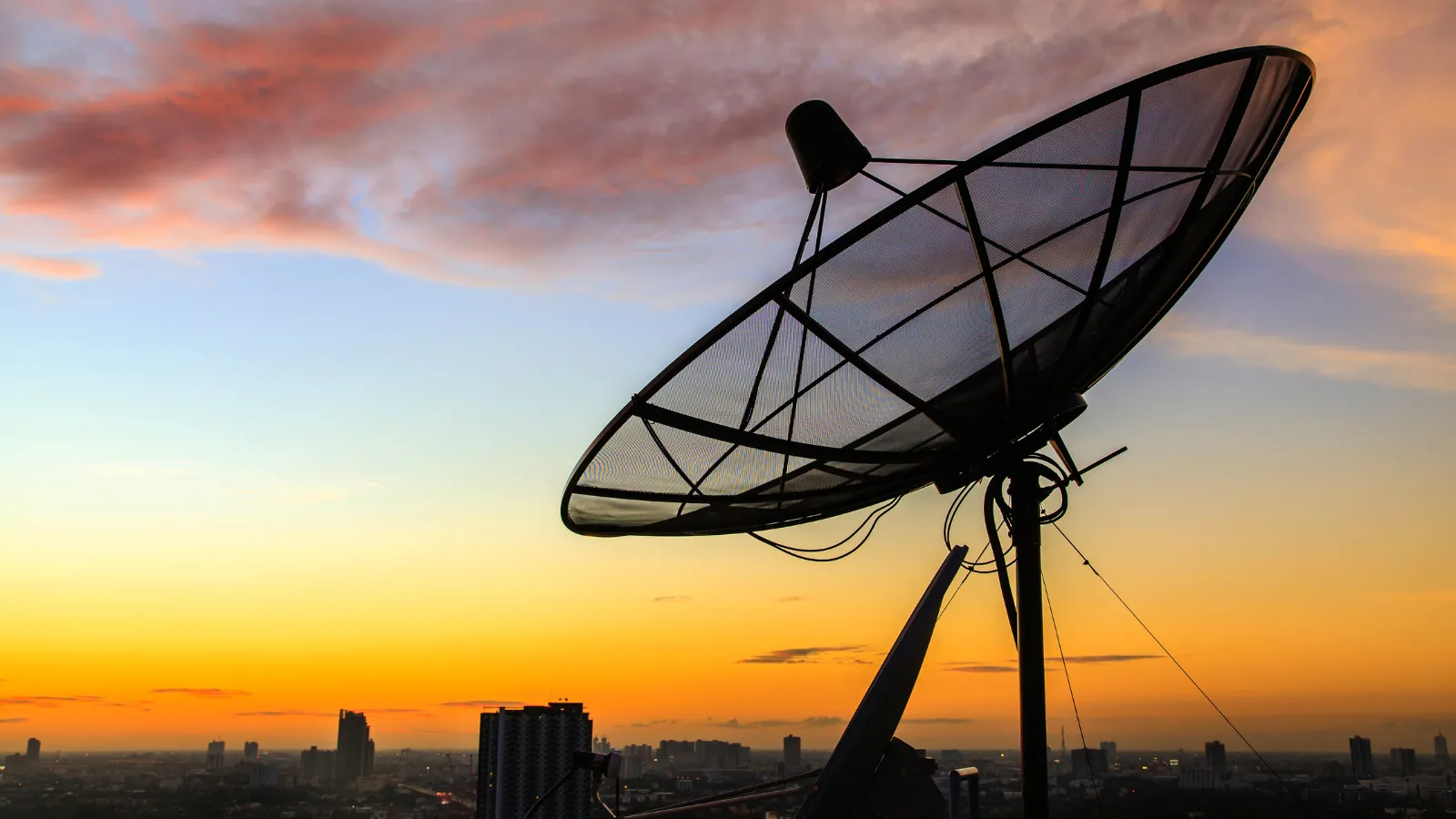
Under normal conditions, a helicopter flies to the affected area to inspect the power lines. However, when weather conditions are adverse or at times of low visibility such as at night, this inspection is not feasible, so Red Eléctrica considered the possibility of collaborating with the Valencian startup Orbital EOS to test radar images taken by satellites when helicopters cannot fly to verify the status of the line.
This collaboration was born thanks to Elewit's commitment to Orbital EOS, selecting it to be part of its venture client program. Orbital EOS specializes in solutions based on satellite remote sensing and the application of automation tools for the extraction of relevant information.
The proposal to use high resolution satellite images of synthetic aperture radar (SAR) technology is particularly relevant because they allow observing the ground surface under unfavorable weather conditions, through clouds and independently of light conditions. To take these images, electromagnetic pulses are sent to the earth and their return is recorded once reflected by the surface, thus obtaining images of the area they illuminate.
In order to put this technology into practice, the dismantling of the Trives-Aparecida line, in Galicia, was used, which allowed the simulation and visualization of different damages that could arise in the lines. Thus, several aspects were analyzed, such as the accuracy of the images, requirements to carry out an effective capture of these images and the viability of these images to visualize different types of faults.
The results obtained showed the technical feasibility of this type of images for the detection of certain types of faults in overhead lines. Despite the fact that their use has not yet been implemented in Red Eléctrica's activities, there are great expectations as to what SAR images can contribute considering the great technological advances and cost reductions that have been taking place in the sector in recent years.